See the previous installments at http://groblerdupreez.blogspot.com/
Epupa Falls
Early breakfast and then off to view the falls at sunrise.
The Epupa Falls (also known as Monte Negro Falls in Angola) are in the Kunene River on the border of Angola and Namibia, downstream from the Ruacana Falls. The river is 0.5 km wide and drops in a series of waterfalls spread over 1.5 km, with the greatest single drop being 37 m. The name "Epupa" is a Herero word for "foam", in reference to the foam created by the falling water. (Wikipedia).
We stayed four days - so much to see when the river is full - this blog post spans all four days. Our visit to the Himba village on day 15 will be a separate blog post.

Silhouette of a baobab tree against the rising sun

Below the falls

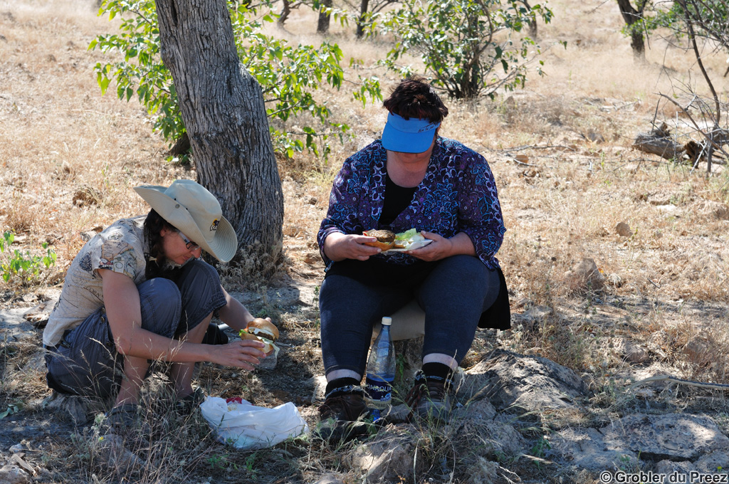
Waiting for the midday heat to subside

Our camp site is behind the Baobab tree to the right of the falls next to the wooden structure..

Washing day above the falls...

The complete 1.5 km wide falls as seen from the hill to the south of the falls. Access is N$10.00 payable to the community per car for a lovely sunset view of the falls (not suitable for a sedan car)

A baobab tree above the falls

.jpg)
Three baobab (broccoli?) trees in the falls

Part of the river rushing through a narrow gorge in the falls

Rainbows galore...

The bar and restaurant mentioned earlier. The yellow and orange objects to the right below the structure are our towels hanging next to our tent.

Makalani palms at the camp site

A rainbow above the falls at sunset. The baobab tree is an outgrowth of a much bigger stump, probably one broken by a big flood.

Inside the falls just after sunset

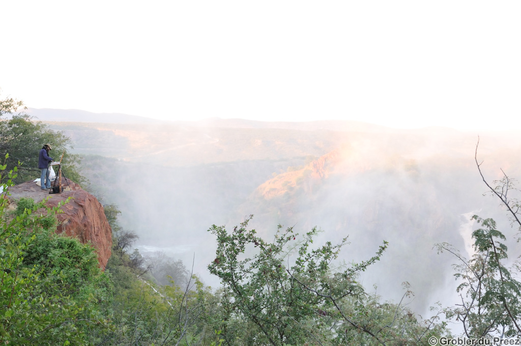
Rene doing a colour study

Distance traveled during our stay: less than 20 km including a few trips to the small shop and a trip to a Himba village. The visit to the Himba village will be a separate blog post.
The map below is an interactive Google Map showing the actual GPS track we followed, imported from a .gpx file. Zoom in to follow our route. Epupa Falls is the top left balloon. Double click on a balloon for more information.