See the previous installments at http://groblerdupreez.blogspot.com/
Ruacana Falls to Epupa Falls
Early breakfast and breaking up our camp at the Hippo Pool then off to the Ruacana Falls.
At 08:20 we left the falls behind and started our journey to Epupa Falls. First stop Ruacana town for fuel and then on to Opuwo, the last reliable fuel and supplies stop before Epupa. At Opuwo we again refueled and bought groceries for the next few days and hamburgers for lunch. Opuwo is a very busy little town and you are constantly pestered by Himba women begging you to take their photos (at a price) and by vendors trying to sell their curios. Long queues at the fuel pumps... We left as quickly as possible.

Lesson learned: the price of an item in one of the small shops is the amount you put on the table - if they ask N$8.00 and you give N$50.00, then the price is N$50.00 - no change given. Take a lot of change with you. Recharge vouchers for your Namibian cell phone simcard are normally only available in N$10.00 vouchers - make sure you won't need N$200.00 in vouchers...
Distance traveled for the day: 356 km of which 265 km were on good gravel roads.
Rene doing a colour study at the viewpoint next to the hydro-electric plant.
The view looking downstream from the falls - the Hippo Pool is just around the corner where the river disappears
A lonely Baobab tree in the falls
Several Baobab trees at the bottom of the falls
At 08:20 we left the falls behind and started our journey to Epupa Falls. First stop Ruacana town for fuel and then on to Opuwo, the last reliable fuel and supplies stop before Epupa. At Opuwo we again refueled and bought groceries for the next few days and hamburgers for lunch. Opuwo is a very busy little town and you are constantly pestered by Himba women begging you to take their photos (at a price) and by vendors trying to sell their curios. Long queues at the fuel pumps... We left as quickly as possible.
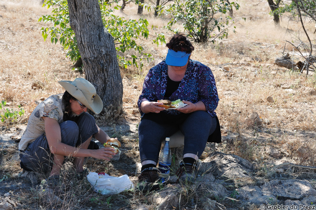
At a safe distance outside the town we stopped for lunch below a tree - quite hot for a Winter's day...
The road to Epupa. Although the road is normally in a good condition, the 180 km trip takes a full four hours as there are numerous dips in the road where (dry) streams cross the road, making it impossible to maintain a good speed.
A beautiful Baobab tree next to the road to Epupa
The view from our camp site at Epupa - about 30 m from the top of the most southerly falls

Distance traveled for the day: 356 km of which 265 km were on good gravel roads.
The map below is an interactive Google Map showing the actual GPS track we followed, imported from a .gpx file. Epupa is the marker top, left. Zoom in to follow our route. Double click on a balloon for more information.


No comments:
Post a Comment